Our Services

Land Surveying & Mapping
Our surveys are backed by experience. Because a survey of your property is simply a professional, expert opinion based on deeds and other documented information, it is critical to be confident of the expertise, experience, and professional integrity in performing your survey. That’s why some of the Carolinas’ most prestigious companies, attorneys, engineers, and architects come to us.
Our clients count on us to provide the accurate documentation that is required for Title Insurance and other items in property transactions, as well as the expertise needed in litigation. Like them, you can depend on our understanding of the highly technical and complex art of measuring, mathematical applications, and proper interpretation of real property law.
Our company uses the latest field-to-finish technology in data collection and total station equipment. In the field, use of data collection and electronic field book recording assures accuracy. Survey technicians, as well as management personnel, are networked using the most current CAD stations. Data is directly downloaded to a CAD station daily. Whether a survey requires data acquisition for highly accurate land-based development or integrated GIS services, we can respond using GPS, robotic, or conventional surveying technologies.

Types of Surveys
At R.B. Pharr & Associates we provide every type of survey for commercial, industrial and residential projects.
American Land Title Association/National Society of Professional Surveyors (ALTA / NSPS) surveys provide the high level of detail often required by lending institutions. Such surveys must be requested in writing and be accompanied by all deeds and easements affecting the subject property.
Boundary surveys are used to relocate and / or replace missing corner markers and provide a map of the property boundaries and boundary improvements. Our surveys seek to verify the description in the recorded deed and record interior improvements, such as: buildings and drives, as well as encroachments along the boundary (fences, drives, utilities, and others), affecting the use of or title to the property.
Location surveys are required for loans, which map the property boundaries and the location of all interior improvements and replace missing corner markers.
Topographic surveys can be used with a Location Survey to prepare a Site Design Map, a Subdivision Map, or an Erosion Control Plan. Our Topographic Surveys are typically field-shot but aerial topographic surveys are also utilized. Topographic Surveys locate all improvements and such topographic features as embankments, trees, water courses, roads, ditches, utilities, etc. and provide elevations and contour lines.
Site planning and engineering surveys combine a boundary and topographic survey to design future improvements, such as houses, residential subdivisions, stores and shopping centers, roadways, playgrounds, sanitary sewer & storm drainage lines, and other infrastructure improvements.
Subdivision surveys for conveyance and recording on parent tracts of land being divided into smaller lots, as well as for site design of lots, streets, and drainage.
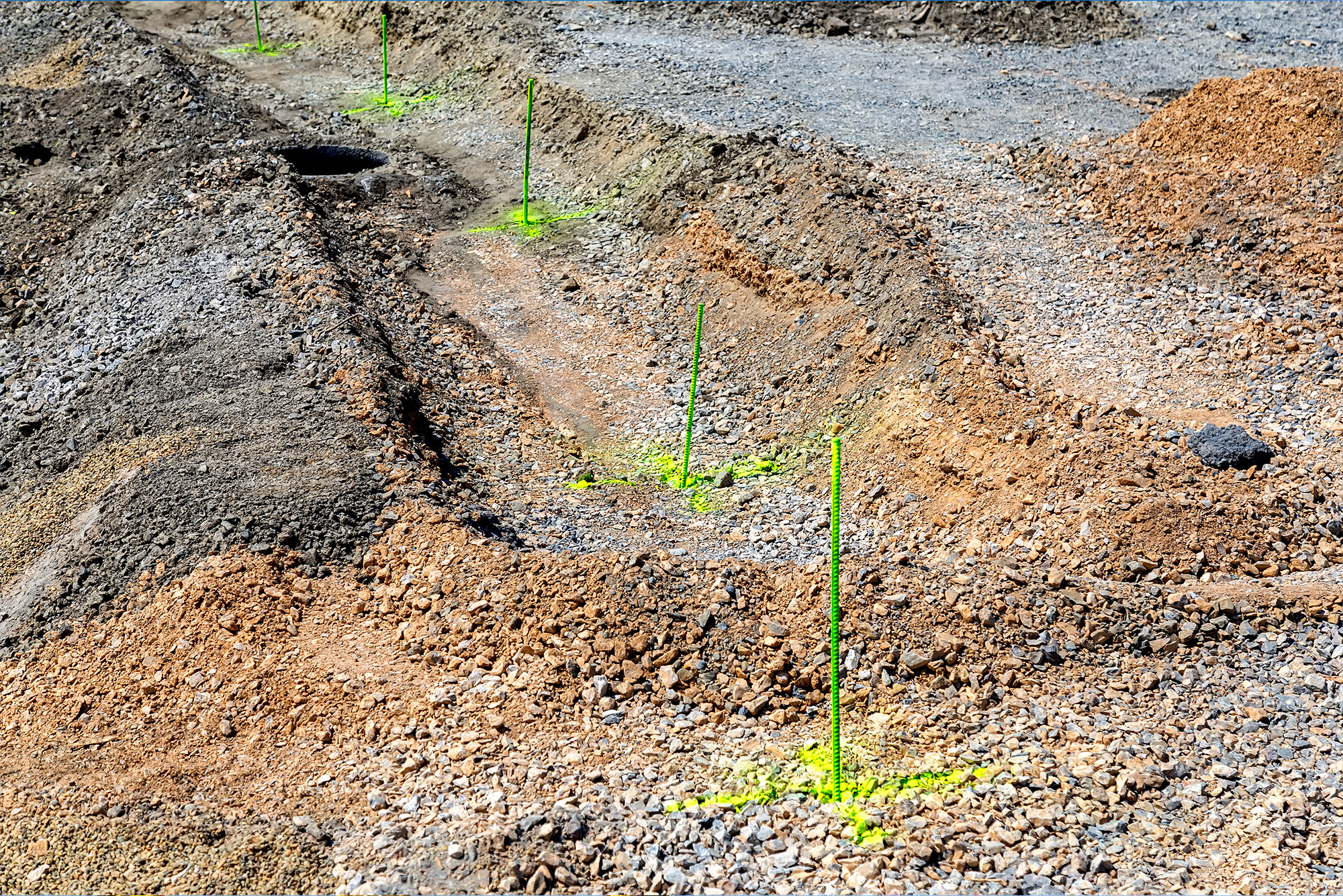
Construction surveys to stake out buildings, roads, walls, utilities, etc., including horizontal and vertical grading, slope staking, and final as-built surveys.
Global Positioning System (GPS) surveys can be used to establish coordinate control points for State Plane Coordinate Systems, Geographic Coordinate System or a local coordinate system at a site. This system can be used to provide accurate coordinates on large boundary, subdivision, commercial and industrial surveys.
GPS Applications:
- Establish Geographic Coordinates on a site
- Establish State Plane Coordinates on a site
- Establish Location of Monitoring Well and Soil Borings
- Photogrammetry and LiDAR Control
- Data Collection for GIS and LIS Systems
Drone Surveys create a high-resolution georeferenced orthomosaic images and detailed 3D models of a site. These images and models can be used for numerous surveying and mapping services.
- Planimetric surveys and mapping (large industrial sites, commercial sites, etc.)
- Topographical surveys
- As-built Surveys
- Volumetric Surveys (Stockpile Surveys)
- Asset Mapping (Solar Panels, production facilities, etc.
Construction Stakeout
We put ideas on the ground. Our Construction stakeout / staking process makes the ideas of architects and engineers a reality by correctly positioning future improvements on the ground.
We use the latest CAD software, computer-assisted drafting, conventional field equipment, and GPS and other data collection technology to provide dependable construction-staking services for a wide variety of commercial and residential clients. Just as important, our land surveyors’ commitment to this essential part of construction provides an expert resource you know you can rely on from beginning to end of the construction process.